Every problem has a creative solution.

PIKOBYTES develops software solutions and data services for a digital image of our world. To this end, we develop powerful databases, intuitive research solutions, interactive visualizations and new concepts for high-density, self-sufficient measurement networks.

We implement IT systems for our customers using modern and powerful technologies. With more than 15 years of practical and scientific experience, we are familiar with many technical issues in the natural and engineering sciences and apply this knowledge to the planning of IT systems. We regularly participate in research and development projects and bring technical innovations quickly and reliably into application. We are very familiar with the relevant standards and norms of IETF, OGC, INSIRE and ISO and apply them with a sense of proportion for the realization of IT solutions.

WebGIS, Visualization & Interactive Maps

GIS
GDI
Web mapping
Data visualization
Cloud native
Data portals

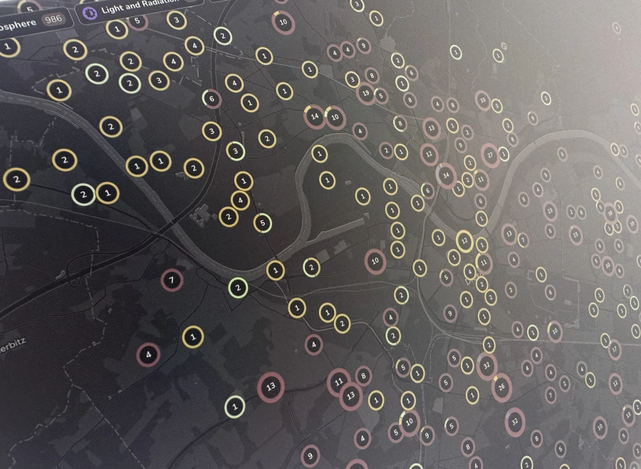
As an independent service provider, we master and support a wide range of commercial GIS products and open source GIS. With our extensive experience, we support our customers in the selection of suitable basic technologies and implement modern WebGIS solutions and applications for data visualization and data research.

Learn more

Sensor Data & Networks, IoT & Smart cities

IoT
Connectivity
Timeseries database
Data monitoring
Sensor networks

We have seen rapid growth in monitoring networks for infrastructure and environmental monitoring in recent years. Monitoring networks in the fields of air monitoring, traffic, energy, meteorology and hydrology are becoming newly available or are being continuously expanded. We support you in all activities relating to the design and construction of monitoring networks and their operation - from the selection of sensors and data transmission to data management and data publication.

GIS & Spatial Analytics

ArcGIS & QGIS
Spatial databases
Machine learning
GIS & graph analytics
Satellite data

Our employees have extensive experience in analyzing geodata and environmental data. We use a wide range of tools for the implementation of projects - from powerful databases to tools from the field of machine learning (ML) and artificial intelligence (AI). Thanks to our broad domain knowledge in the natural and engineering sciences, we can quickly familiarize ourselves with new issues.

Learn more

Spatial and Geospatial Data

OpenStreetMap
Data crawlers
OPEN·SENSOR·WEB

The number of available data sets and information portals is constantly increasing thanks to new technical possibilities, powerful satellite constellations, comprehensive measurement networks and innovative development projects. We help you to research and evaluate suitable data sets for your questions and to develop them for your systems.

Would you like to know more?

Do you have any questions or would you like to start a project with us to translate your ideas into a complex map application? Don't hesitate and get in touch with our sales department now. We will be happy to help you in an uncomplicated manner.

Jacob Mendt

Your contact for questions about IT solutions for spatial and geospatial data
+49 (0)351 850 901 00